Links
Local Bike Shops
Willamette Mountain Mercantile
Services
Cog Wild Mountain Bike Tours
Trans Cascadia Excursions
Mountain Bike and Trail Maintenance Organizations
International Mountain Bicycling Association (IMBA)
Disciples of Dirt (DOD)
Alpine Trail Crew Association
Cascade Volunteers
Races and Events
Mountain Bike Oregon (MBO)
Cascade Cream Puff
Sturdy Dirty Enduro
Trans-Cascadia
Trail Descriptions and Conditions
MTB Project
Hiking Project
Cascade Singletrack
City of Oakridge Recreation
Adventure Maps, Inc.
Willamette National Forest, Middle Fork Ranger District Trails
Willamette National Forest, Middle Fork Trail Conditions
Willamette Pass Winter Recreation Area
and map (PDF)
The USFS provides geospatial topographic maps for the Pacific Northwest here. These maps can be downloaded to a smartphone and viewed with apps such as Avenza Maps. This app can also be used to measure distances, view your position using GPS, and record real-time tracks. It also has a maps store where other geospatial maps can be purchased.
If you have an update on a forest road or trail condition, you may contact the Middle Fork Ranger District at 541-782-2283 or e-mail. Please include the location and specific concern such as washout or diameter of the down log.
General Conditions
National Weather Service Forecast for Oakridge OR
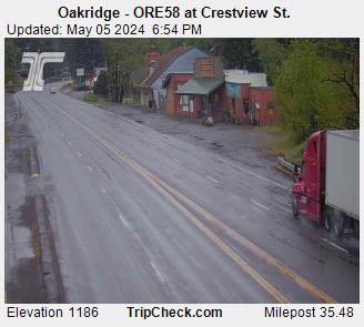
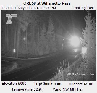
Oregon Department of Transportation Road Conditions


